
St. Lucie ZIP Coverage Table
The county health assessment published 2019 ACS population estimates for 15 populated ZIP areas. These counts are dated context, not a live resident roll. Practical area labels describe delivery geography and should not be read as exact municipal limits.
| ZIP | 2019 population | Practical area | Boundary note |
|---|---|---|---|
| 34945 | 6,736 | Western, rural Fort Pierce | Delivery label differs from city limit |
| 34946 | 6,672 | North Fort Pierce, Lakewood Park, St. Lucie Village area | Incorporated and unincorporated settings |
| 34947 | 12,822 | West-central Fort Pierce | Check city boundary parcel by parcel |
| 34949 | 7,911 | Fort Pierce barrier island and beach | Coastal area |
| 34950 | 16,365 | Downtown and central Fort Pierce | County-seat core |
| 34951 | 14,706 | Lakewood Park and north county | Largely unincorporated |
| 34952 | 42,272 | East Port St. Lucie, River Park, Sandpiper | Core Port St. Lucie delivery zone |
| 34953 | 69,278 | Southwest Port St. Lucie | Roads and canals split school zones |
| 34957 | 24,066 county share | Jensen Beach postal area | ZIP geography crosses into St. Lucie |
| 34981 | 4,949 | White City and IRSC corridor | Unincorporated and institutional mix |
| 34982 | 27,549 | South Fort Pierce and east-central Port St. Lucie | Fort Pierce mail appears within Port St. Lucie |
| 34983 | 42,132 | North-central Port St. Lucie | School line at Prima Vista |
| 34984 | 15,496 | Central and south Port St. Lucie | Becker corridor split |
| 34986 | 27,901 | St. Lucie West and Torino | I-95 and development geography |
| 34987 | 10,399 | Tradition and west Port St. Lucie | Fast-growth western area |
The largest cohorts in that table were 34953, 34952, and 34983. Population size alone says nothing about a named person. It is useful for understanding the scale of a ZIP-wide search and why a street or parcel filter is needed next.
St. Lucie ZIP 34957
ZIP 34957 is a sharp example of delivery geography crossing a county idea. Its USPS identity is Jensen Beach and is often linked with Martin County, yet the St. Lucie health assessment reports a St. Lucie County population share. A postal city is part of mail routing, not a legal statement that every address lies within one city or county.
For a resident search, verify the full address with USPS and then inspect the parcel in the Property Appraiser map. For permits, taxes, or public requests, determine the actual jurisdiction. A ZIP code directory can narrow the area, but it cannot choose the responsible government office on its own.
St. Lucie ZIP 34982
ZIP 34982 has a Fort Pierce postal identity while also covering Port St. Lucie addresses. Port St. Lucie's own engagement data listed it among respondent ZIPs within city boundaries. This is not an error. The post office chooses preferred place names for delivery, while municipal boundaries determine which city services and permit systems apply.
Boundary check. A Fort Pierce mailing label in 34982 does not by itself prove that the parcel lies inside Fort Pierce city limits.
School maps add another layer. The official high-school zone map divides 34982 at Midway Road. Similar road and canal splits appear in other codes. ZIP lines are useful search filters, but they do not replace the map made for a school, city, taxing district, or service area.
Find St. Lucie Residents by ZIP
Official sources do not provide one public screen that lists every resident in a ZIP. Instead, use the delivery code to narrow a source that lawfully holds the needed fact. The Property Appraiser parcel schema includes SiteZIP and MailZIP, though its public search starts with site address, owner, or parcel rather than a documented stand-alone ZIP box.
- Verify the complete delivery address in the USPS ZIP Code Lookup. Record the returned ZIP and preferred postal city.
- Search the St. Lucie Property Appraiser by street address, owner name, or parcel ID. Distinguish SiteZIP from the owner's MailZIP.
- Use the GIS map or an available ArcGIS query to define a ZIP subset, then inspect parcel records without treating owners as all occupants.
- For voter research, use the lawful Florida monthly extract channel. The personal status lookup is not a ZIP-wide resident directory.
- Once the area is narrowed, use the St. Lucie street directory for address-level work.
Florida sends the statewide voter extract on disk or permits pickup. It is not emailed or posted online. Protected addresses and never-public identifiers remain excluded, and an inactive voter entry does not prove that someone moved.
St. Lucie Parcel ZIP Fields
The parcel roll separates three address ideas. A situs address identifies the physical parcel. A mailing address is where the tax notice goes and may belong outside the county. The deed's legal description identifies land through a subdivision, lot and block, or metes and bounds. These fields should not be swapped.
| Field | Meaning | Best use |
|---|---|---|
| SiteZIP | ZIP attached to the physical parcel address | Group properties by local delivery area |
| MailZIP | ZIP on the owner's mailing address | Read tax-contact information without assuming occupancy |
| Parcel ID | County property identifier | Keep the same land in view across address changes |
| Legal description | Recorded land description | Cross-check a parcel against deeds and plats |
PASLC accepts a parcel ID without dashes and can work from the first seven digits. Its public controls lead with address, owner, and parcel data. Any ZIP export should be checked against the actual parcel records because a postal field does not establish who lives there.
Verify St. Lucie ZIP Codes
Several codes appear in government postal listings but not in the health assessment's populated table: 34948, 34954, 34979, 34985, and 34988. The research did not establish an official classification for each. Do not label one as a PO-box-only, unique, or non-populated ZIP without a current USPS check.
The USPS ZIP Code Lookup was the one successful image assigned to the ZIP code directory.
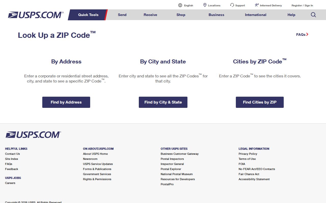
Use the current postal result when mailing or matching an address. Then use the county parcel map or municipal boundary source for a government question. This two-step check prevents a preferred postal city from sending a permit or records request to the wrong office.
Port St. Lucie Address Assignment
The Port St. Lucie Addressing Division assigns and maintains official addresses inside city limits. An address issues after plan or plat approval and county recording. The division sends updates to agencies and utilities without owner names. It may consider a change for a corner lot's front-door orientation or a valid numbering problem, but an owner cannot freely select a number.
This process explains why a mailing label, map label, and legal description can answer separate questions. For city address issues, contact Addressing@cityofpsl.com or 772-871-5132 on weekdays from 8 a.m. to 5 p.m. For land identity, retain the parcel ID and legal description even if street presentation changes.
St. Lucie ZIP Boundary Limits
The St. Lucie County ZIP code directory is a postal starting point, not a government boundary atlas. ZIP 34953 is divided by features such as Gatlin Boulevard, the C-24 Canal, Powerline Road, and Rosser Boulevard in school maps. ZIP 34983 divides at Prima Vista Boulevard, while 34986 includes Torino and St. Lucie West segments. The line used for one service need not match another.
- ZIP Code
- A USPS delivery code that groups mail routes and addresses.
- ZIP+4
- The basic ZIP plus four digits that narrow delivery to a smaller segment.
- PO-box ZIP
- A code used for post-office-box delivery; verify the classification with USPS.
- Unique ZIP
- A code assigned to one large recipient or institution; no St. Lucie candidate should be called unique without USPS confirmation.
- Carrier route
- A mail-delivery path within a ZIP, not a city or neighborhood boundary.
No reliable official source established a countywide ZIP realignment year or street-renumbering chronology. Where an old and new address differ, hold the parcel ID, lot and block, or other legal description constant. Those identifiers provide a stronger bridge than the postal label alone.
Use St. Lucie ZIP Results Carefully
A ZIP-wide result can be broad and stale. Parcel ownership does not identify every occupant. The voter extract omits protected information and includes active or inactive status rather than a complete household list. USPS verifies delivery, not residence. Use at least two official facts when matching a named person.
The strongest sequence is simple: USPS for the delivery code, PASLC for the parcel and situs, GIS for the boundary, and the correct city or county office for the requested record. That keeps each source within the purpose it was built to serve and makes the St. Lucie County ZIP code directory useful without claiming more precision than postal geography supplies.