
Sources for St. Lucie Neighbors
A useful block lookup asks what each record can actually prove. The parcel map gives the shape and ownership of nearby lots. Voter data can add public registration fields, but it excludes protected records and does not include every adult. Permit files describe projects, not households. Civic programs identify areas and public group contacts without exposing private member lists.
| Source | What It Shows About a Block | Access |
|---|---|---|
| PASLC GIS rectangle selection | Adjacent parcels, owners, site/mail distinction, physical and tax fields | Free map; reported selection cap 2,000 |
| Public parcel layer | Sortable parcel, land, value, and address fields | ArcGIS query; max record count 20,000 |
| Florida voter extract | Public voter fields organized by residence | Monthly disk request; exemptions applied |
| Permit searches | Projects and cases at nearby addresses | Correct city or county portal |
| Directories and Sanborn | Selected historic occupants and built form | Library, NARA, and LOC; limited years |
| NICE and civic programs | Named areas and group contacts, not member households | Public city materials |
Use two records when identity matters. An owner name and matching mail address can suggest owner occupancy, but neither field establishes who else lives there.
Keep the block boundary explicit. It may mean lots sharing a street face, or it may include rear and corner parcels. The GIS selection makes that scope visible and avoids sweeping in a whole ZIP code when only immediate neighbors matter. Save the search date because ownership, exemptions, and permit status can change.
Map St. Lucie Neighboring Parcels
The St. Lucie County Property Appraiser map supports an address-first walk around a block. Its basic search accepts parcel ID, site address, or owner. A parcel popup can show owner, physical address, year built, finished area, and acreage, with actions for a report, measurement, and closer map view.
- Search the known site address and confirm the parcel outline.
- Use Select and a rectangle or extent around the immediate lots.
- Open each adjoining parcel and record owner, site address, and separate mailing address.
- Check the detailed report for legal description, sale history, exemptions, permits, and tax links.
- Keep “owner” and “occupant” as separate columns in research notes.
The parcel layer can support a broad export, but an immediate-neighbor question rarely needs one. Stay close to the subject parcel. For a full named-road search, use the St. Lucie County street directory workflow instead.
Note: The map's confidentiality control must be honored; never try to rebuild a field the official source suppresses.
Read St. Lucie Owners Carefully
The parcel schema separates SiteAddress from MailAddress and can list up to three owner names. The site, or situs, is the land's physical address. The mailing address is where tax correspondence goes. Matching values may support an owner-occupancy hypothesis, but they do not identify renters, relatives, guests, or every person in a home.
- Parcel
- A mapped unit of land with its own tax identity.
- Situs address
- The physical address assigned to the property.
- Mailing address
- The destination for the owner's tax correspondence.
- Homestead exemption
- A property-tax field that can be a residency clue, not a household list.
Commercial neighbor compilations often blur those terms and can carry stale postal labels. Use them, if encountered, only as unverified leads. Official land, voter, and permit custodians remain the sources to check.
St. Lucie Voters by Block
The personal tool at the St. Lucie County Supervisor of Elections is meant to verify supplied registration information. It is not a public street-browse harvest. For lawful block research, Florida offers a statewide voter extract with residence fields and statutory exemptions already applied.
Florida treats name, residence address, date of birth, party, phone, email, and election participation history as public subject to exemptions. Participation shows that a voter took part, never how anyone voted. Social Security number, driver-license or state-ID number, and application source are never released. A signature may be viewed but not copied.
The extract is not posted or emailed. Submit contact information and a mailing address through the Florida voter extract request. A disk is mailed or picked up, and standing requests expire at year end. Request at least 24 hours before a scheduled monthly release; later requests follow ordinary public-record procedures and may carry administrative fees.
An inactive registration flag is not proof that a neighbor moved. Address confirmation and list-maintenance steps can alter status. Nonregistration also does not establish nonresidence. Treat voter data as one dated public roll and compare it only when there is a lawful personal reason to resolve identity.
Florida's St. Lucie Voter Route
The Division of Elections request page documents the proper public-data route for block-level voter research.
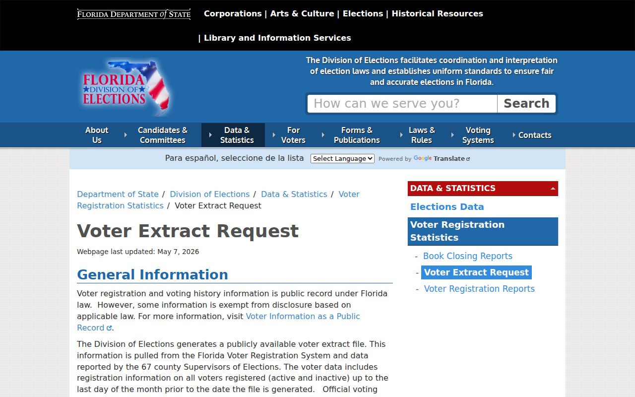
The captured state page reinforces the difference between a personal registration check and the monthly extract. Protected voters remain absent from public results.
Permit Activity Near St. Lucie Neighbors
Permit searches add a project timeline to the block. They may show an address, applicant, contractor, type of work, status, and dates. That is evidence of work at the property, not proof that the applicant or owner lived there.
Jurisdiction comes first. Port St. Lucie, Fort Pierce, and St. Lucie County keep separate systems. The county's permitting and zoning portal principally covers unincorporated land. A Fort Pierce postal line can include other jurisdictional contexts, and a Port St. Lucie permit result may split the same place into current and Legacy address rows.
Search nearby addresses one at a time and keep results grouped by custodian. If an older permit does not appear online, contact the correct city or county records office. No complete archive start date was verified.
Port St. Lucie NICE Areas
Port St. Lucie's NICE program supplies a community layer without publishing a household directory. Public materials name Fairgreen Gardens, Floresta Pointe, Riverview, Northport Village, Fairgreen Crossing, Hidden Oaks, Oak Hammock, and Palm Trails. The program supports informal safety, cleanup, activity, and walking groups, and code specialists may attend neighborhood association meetings.
Port St. Lucie NICE
Use city neighborhood materials for named civic areas and public contacts. No verified public member roster exists.
Lincoln Park
Fort Pierce planning materials document this historic neighborhood. Recognition programs identify selected nominees, not all residents.
Private Associations
Use a contact an organization publishes itself. HOA, congregation, club, and watch rosters remain private.
An official, complete countywide list of active associations was not found. That gap should not be filled by scraping private member lists or treating a civic boundary as proof of membership.
St. Lucie County's civic geography varies. Fort Pierce has older port neighborhoods, Port St. Lucie has planned suburban areas, and White City or Lakewood Park may use unincorporated county services. A postal city line does not settle which program covers a block. Confirm the parcel's municipal boundary before assigning it to a group or office.
Historic St. Lucie Neighbor Blocks
Fort Pierce blocks can be checked at selected moments through printed directories and the ten-sheet May 1924 Sanborn map. Verified directory years include 1916, 1918, 1920 through 1923, 1927 through 1928, and 1931. The map shows building form; a directory may name an observed occupant; a deed identifies an owner.
Layer those sources without claiming more than they show. A 1923 directory entry and the 1924 Fort Pierce Sanborn gallery can place a person and structure near the same date. The next verified volume may reveal a change. Missing years and unverified reverse sections prevent a complete annual block roster.
Note: No countywide reverse-directory run or street-renumbering chronology was verified for St. Lucie County.
Official St. Lucie Block Evidence
Official and commercial sources play different roles. The distinction matters when a neighbor lookup mixes ownership, occupancy, and postal data.
| Source Type | Best Use | Main Limit |
|---|---|---|
| Property Appraiser and GIS | Parcel boundaries, owners, site and mail fields | Not a household roster |
| Voter extract | Public registration fields by residence | Exempt and nonregistered people absent |
| Permit custodian | Projects and case dates | Applicant is not necessarily an occupant |
| Civic program | Public area and group contacts | No private membership list |
| Commercial compilation | Possible lead to verify | May be stale or confuse owners and residents |
When sources disagree, correct the record at its custodian and avoid repeating an unsupported household claim.
County departments also accept chapter 119 public-record requests when a portal does not expose a needed permit or civic record. Use the county request portal for county departments and the correct city clerk for municipal material. Florida law does not require an office to create a new block roster from records it does not already keep.
Privacy for St. Lucie Neighbors
Some facts never belong in a public block search. Utility and delivery customer data, private association rosters, and DMV personal information are not substitutes for a resident list. Florida's Address Confidentiality Program and occupational exemptions can shield qualifying residents. A missing person or address may reflect legal protection, not a search error.
Use neighbor records for civic curiosity, reconnecting, understanding a parcel boundary, or personal safety awareness. Keep the scope small and the facts qualified. Do not contact a person through data that the official source withheld, and do not publish a map that labels owners as occupants.
Lawful use. Florida law prohibits stalking and cyberstalking. Never use block records to watch, harass, threaten, or intimidate St. Lucie County neighbors.